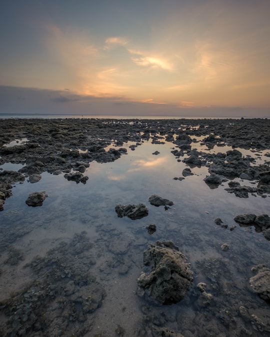
Travel Guide of Ko Lanta District in Thailand by Influencers and Travelers
Ko Lanta is a district in Krabi province, Thailand.
Download the Travel Map of Thailand on Google Maps here
Pictures and Stories of Ko Lanta District from Influencers
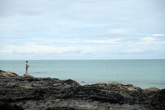
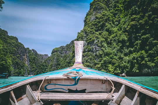
4 pictures of Ko Lanta District from Max Bender, Israel Gil, Christian Holzinger and other travelers
Plan your trip in Ko Lanta District with AI 🤖 🗺
Roadtrips.ai is a AI powered trip planner that you can use to generate a customized trip itinerary for any destination in Thailand in just one clickJust write your activities preferences, budget and number of days travelling and our artificial intelligence will do the rest for you
👉 Use the AI Trip Planner
The Best Things to Do and Visit around Ko Lanta District
Disover the best Instagram Spots around Ko Lanta District here
1 - Mu Ko Lanta National Park
20 km away
Mu Ko Lanta National Park is a national park in the southern part of Krabi Province, Thailand, consisting of several islands. The two largest islands are Ko Lanta Noi and Ko Lanta Yai.
View on Google Maps Book this experience
2 - Ko Lanta
28 km away
Ko Lanta District is a district in Krabi Province, Thailand.
Learn more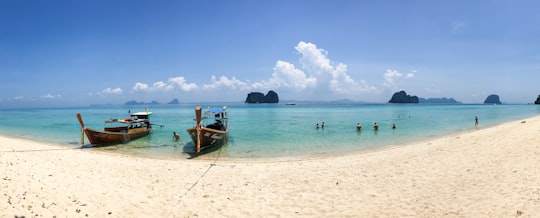
3 - Sightseeing | Tung Yee Peng
Take a walk and take photos of the beautiful mangrove forest, take a boat ride to see nature, and enjoy lunch.
Learn more
4 - Pileh Lagoon
35 km away
Learn more
5 - Viking Cave
35 km away
Learn more
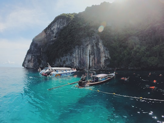
6 - Phi Phi Islands
36 km away
The Phi Phi Islands are an island group in Thailand, between the large island of Phuket and the Straits of Malacca coast of Thailand. The islands are administratively part of Krabi Province.
Learn more Book this experience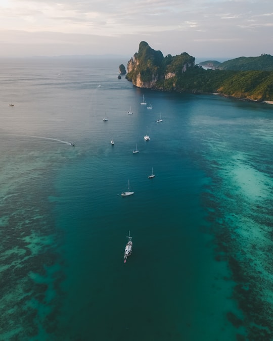
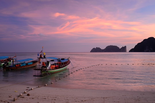
7 - Ko Phi Phi Don
36 km away
Learn more
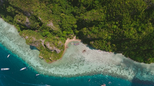
8 - Loh Dalum Bay
36 km away
Learn more
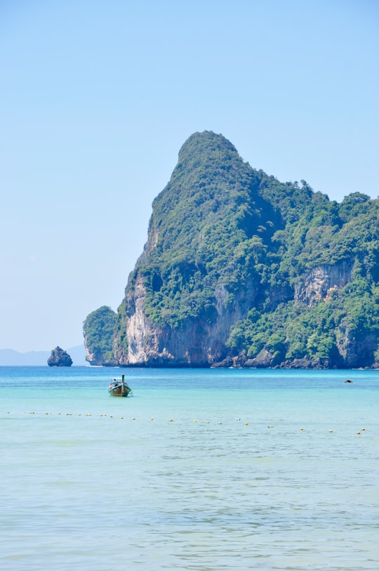
9 - Bamboo Island
38 km away
Ko Phai is the largest island in Mu Ko Phai, a small uninhabited archipelago on the eastern seaboard of Thailand. It is about 21 km to the west of Pattaya. It is also known as "Koh Pai". It is also mentioned as "Bamboo Island", the meaning of its name in Thai, in tourist guides.
Learn more Book this experience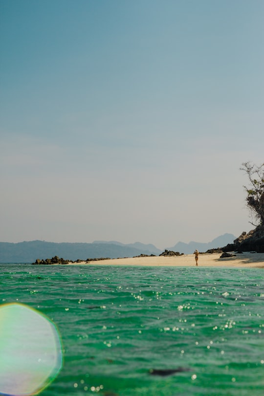
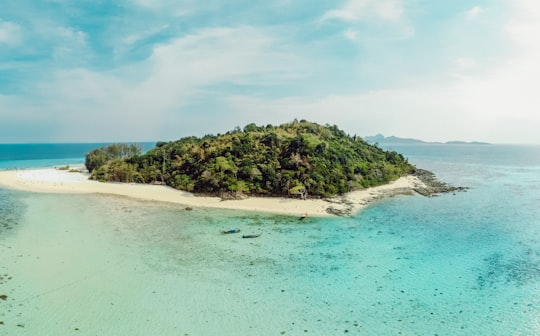
10 - Ao Nang
38 km away
Ao Nang is a resort town and sub-district in Thailand.
Learn more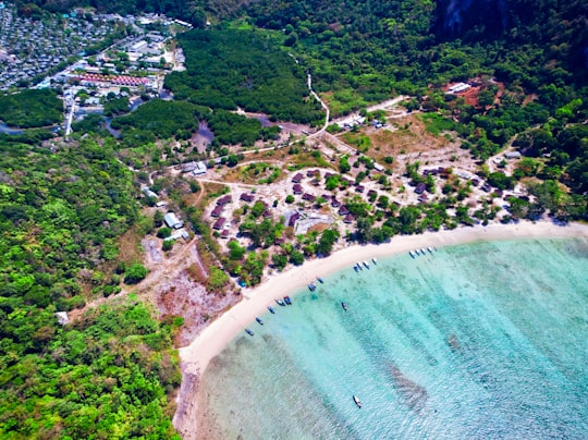
11 - หาดถ้ำพระนาง (Phra Nang Cave Beach)
50 km away
Learn more

Book Tours and Activities in Ko Lanta District
Discover the best tours and activities around Ko Lanta District, Thailand and book your travel experience today with our booking partners
Where to Stay near Ko Lanta District
Discover the best hotels around Ko Lanta District, Thailand and book your stay today with our booking partner booking.com
More Travel spots to explore around Ko Lanta District
Click on the pictures to learn more about the places and to get directions
Discover more travel spots to explore around Ko Lanta District
🌊 Ocean spots 🏖️ Shore spots Swimming spotsTravel map of Ko Lanta District
Explore popular touristic places around Ko Lanta District
Download On Google Maps 🗺️📲
